Laurel-County-Lake
This is a repository submission for lab 07.
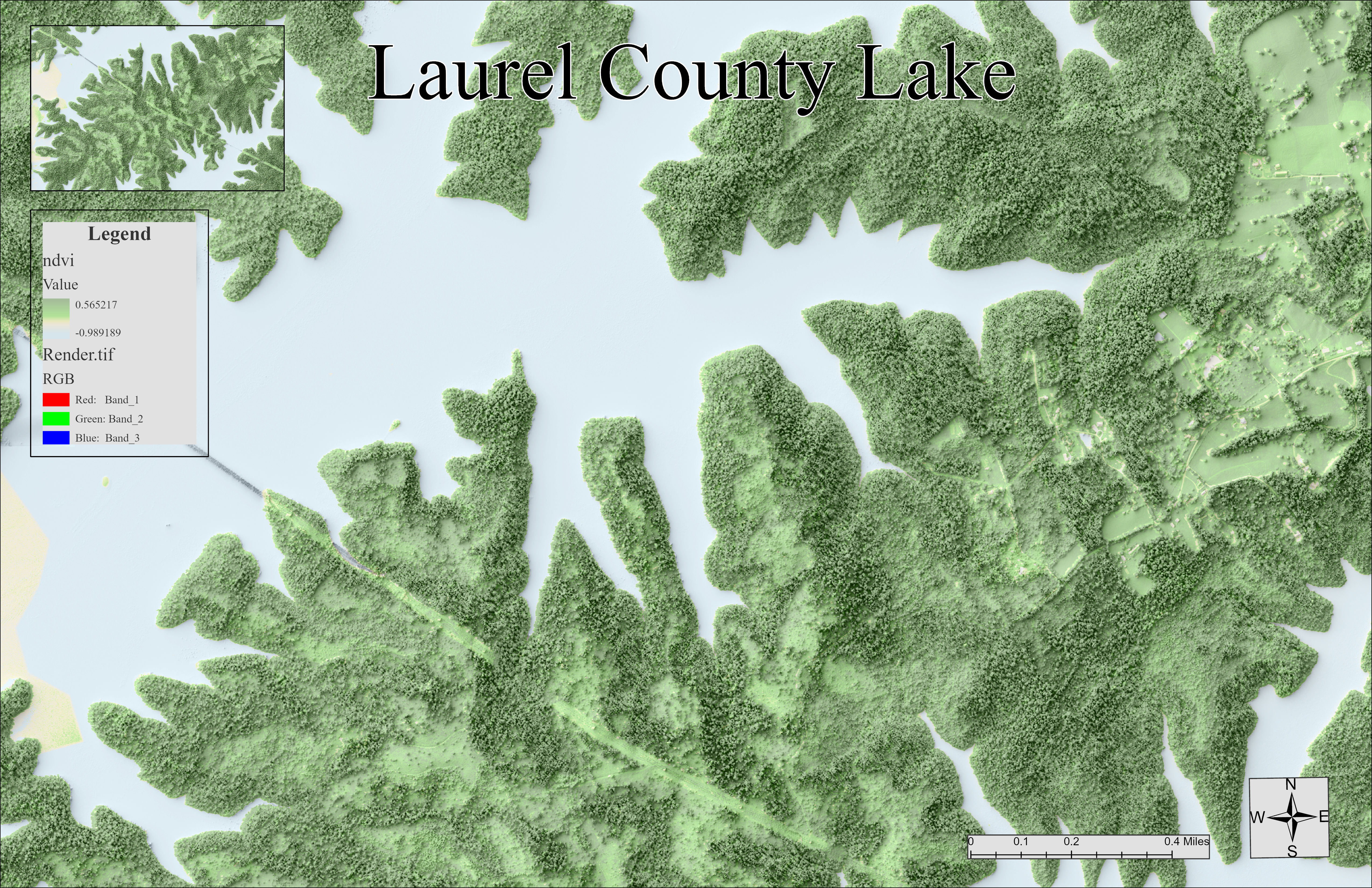
This is a map created to visualize Laurel County Lake. In the top right corner, a small area of town is shown with several buildings. This map was also created to illustrate the unique landforms around this lake in an aerial view. There is a visible line thorugh the map going diagonally down from the west to the south east, and this line represents telephone lines. Trees were taken down in a man-made path, and it fairly wide, so this is why it is easily seen from the aerial view.
Map Image
This map is created by Chloe Barnes. She is a senior studying Geography at the University of Kentucky, and this is an assignment map she created for the 7th lab in the Advanced GIS (GEO409) class taught by Boyd Shearer.
Data sources
National Map Download (USGS): https://apps.nationalmap.gov/downloader/
Kentucky Raster Data (Image Services): Ky_NAIP_2020_2FT
Kentucky Raster Data (Elevation Services): Ky_DSM_First_Return_5FT_Phase1, Ky_DEM_KYAPED_5FT
Applications
Blender (application)